Continents, Oceans & Map Skills Worksheet & Activity Bundle
$11.99
Build geography and map-reading skills as students explore continents, oceans, landforms, global locations, and the world around them. 🌎🗺️
Description
Help students build geography knowledge and map-reading confidence as they explore the continents and oceans that shape our world. 🌎🗺️
This Continents, Oceans & Map Skills Bundle is a comprehensive geography resource designed to introduce students to world geography through engaging reading, writing, mapping, research, and critical-thinking activities. Students learn about the seven continents, five oceans, map projections, relative location, landforms, wildlife, and global connections while strengthening literacy and spatial reasoning skills.
What’s Included in the Continents, Oceans & Map Skills Worksheet & Activity Bundle
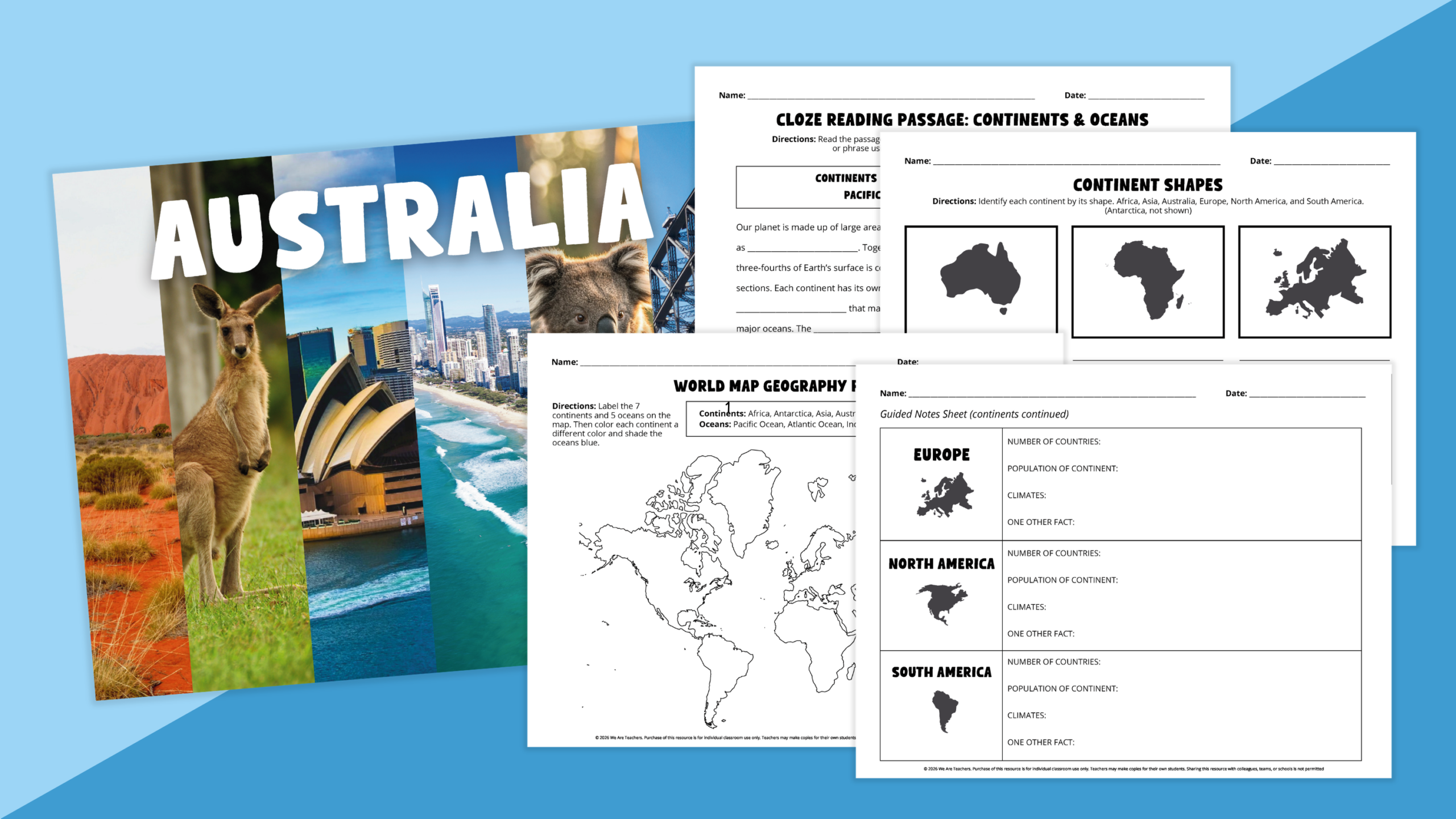
This digital download includes a wide variety of geography activities and printable worksheets, including:
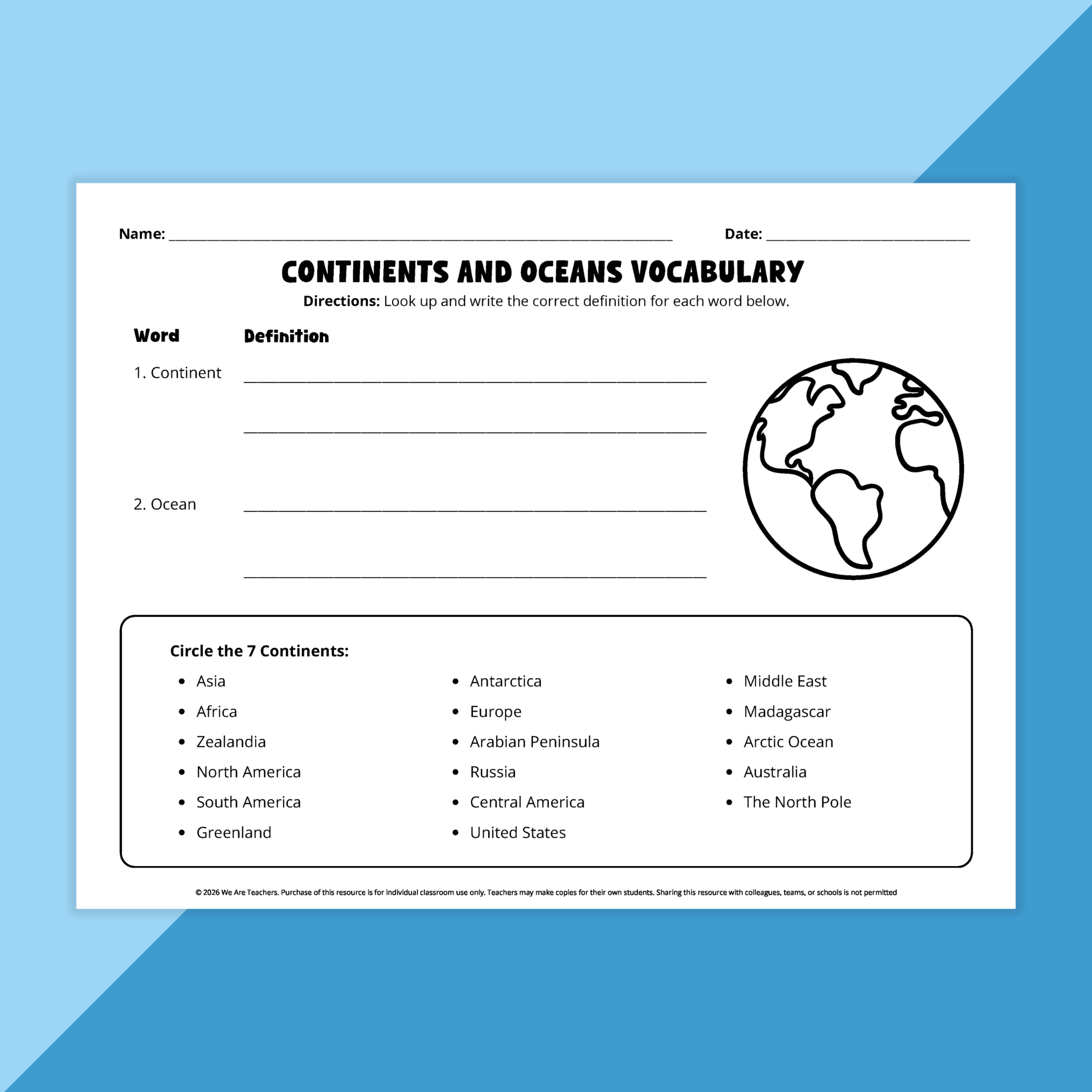
✔ Continents and oceans vocabulary worksheet
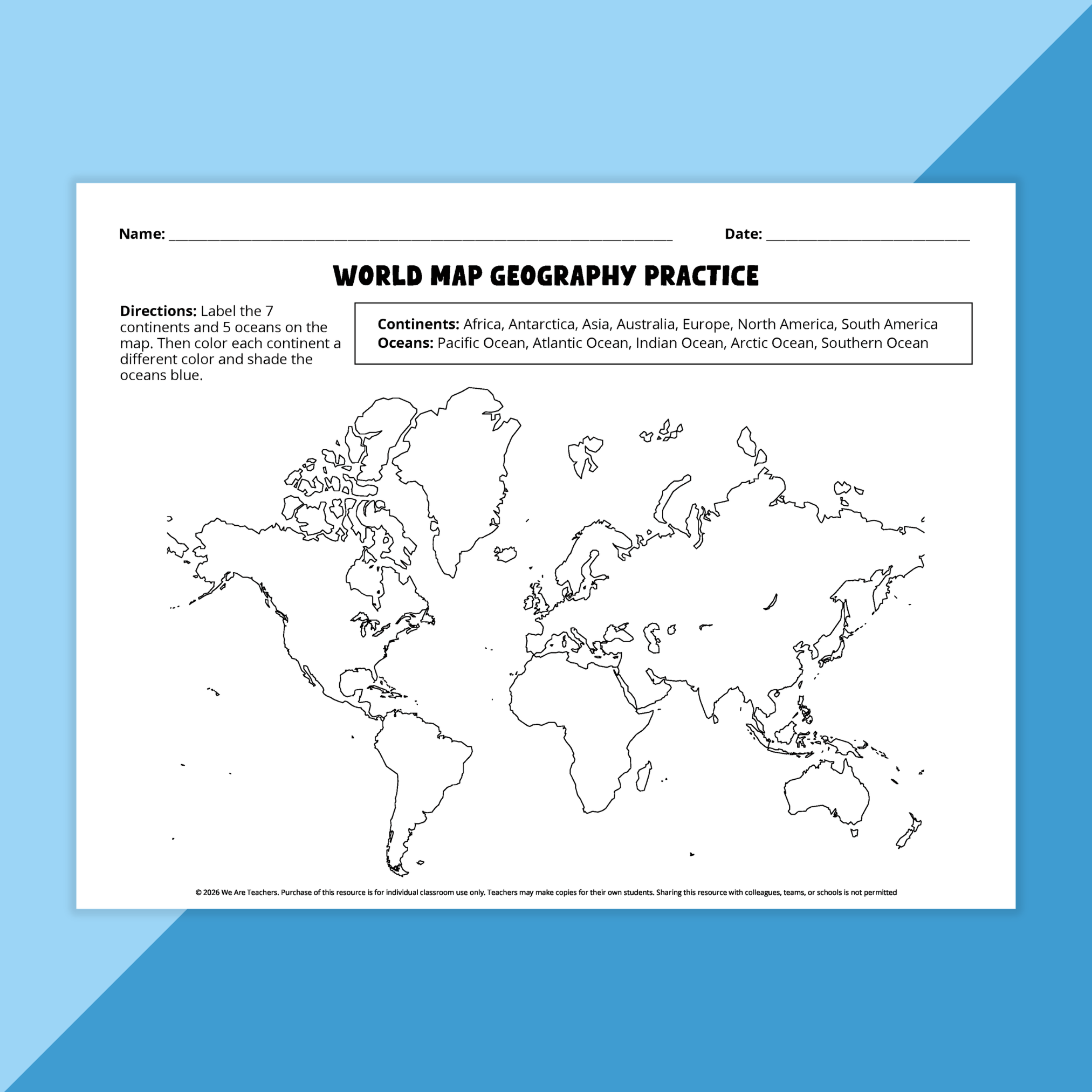
✔ World map labeling and coloring activity
✔ Continents-by-shape identification worksheet
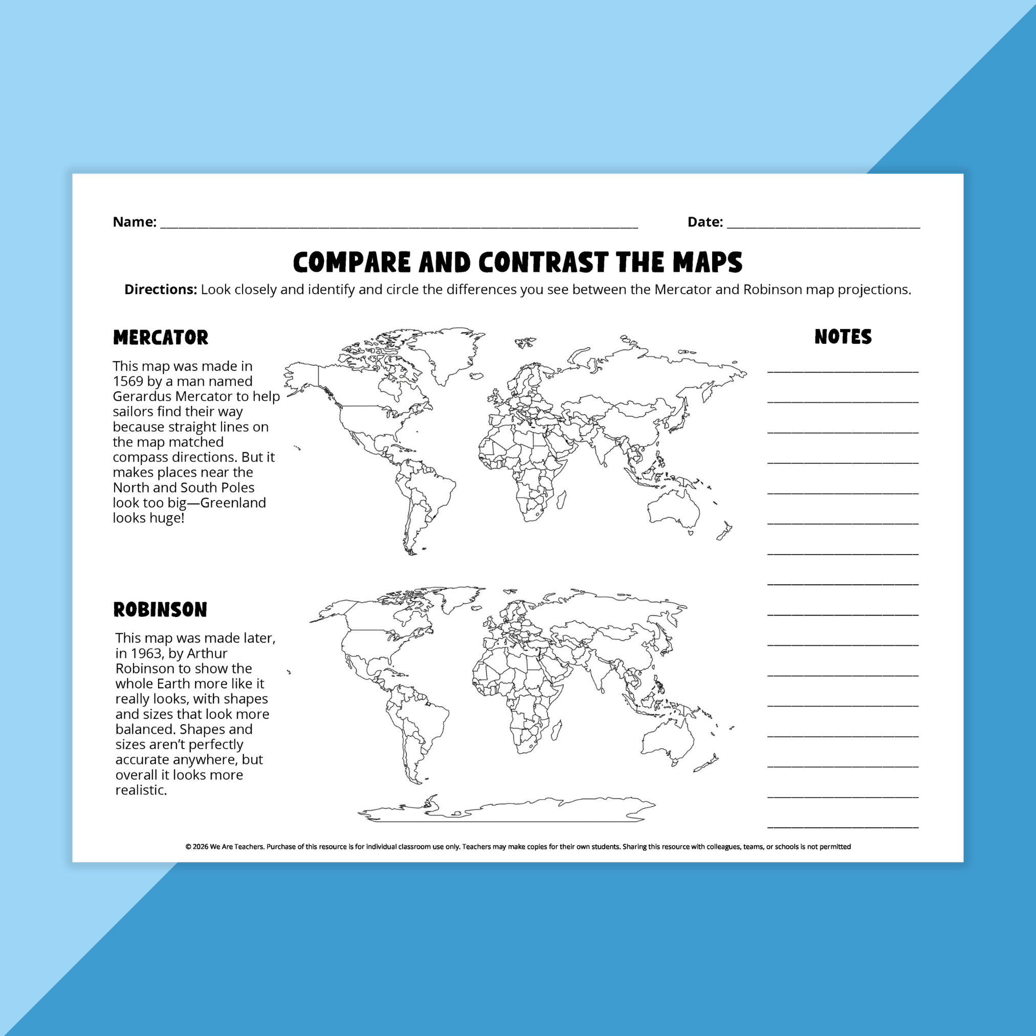
✔ Compare-and-contrast Mercator and Robinson map projection activities
✔ Relative location practice using cardinal directions
✔ Two differentiated continents and oceans cloze reading passages
✔ Guided notes sheets for continents and oceans
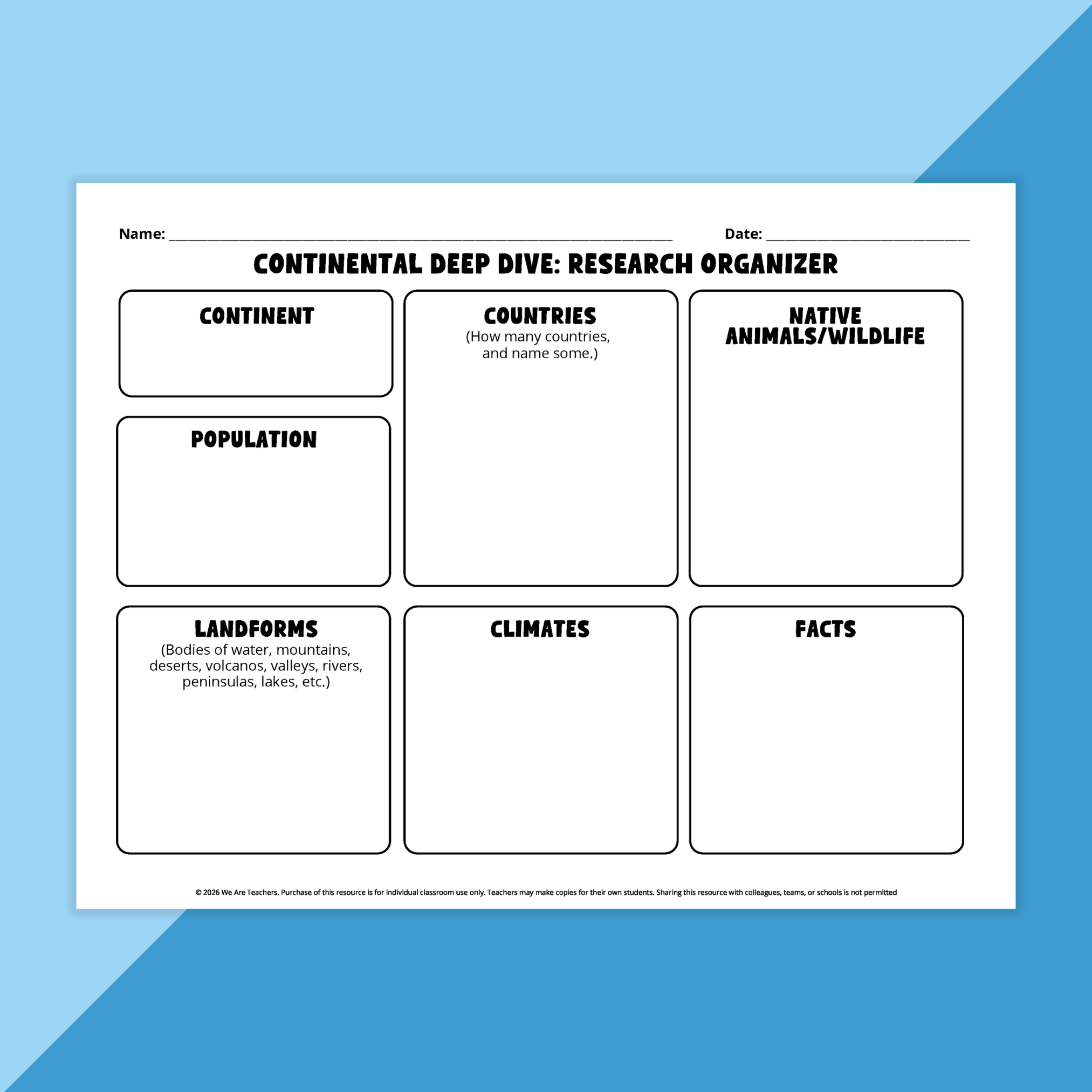
✔ Continent research organizer and “Continent Deep Dive” project page
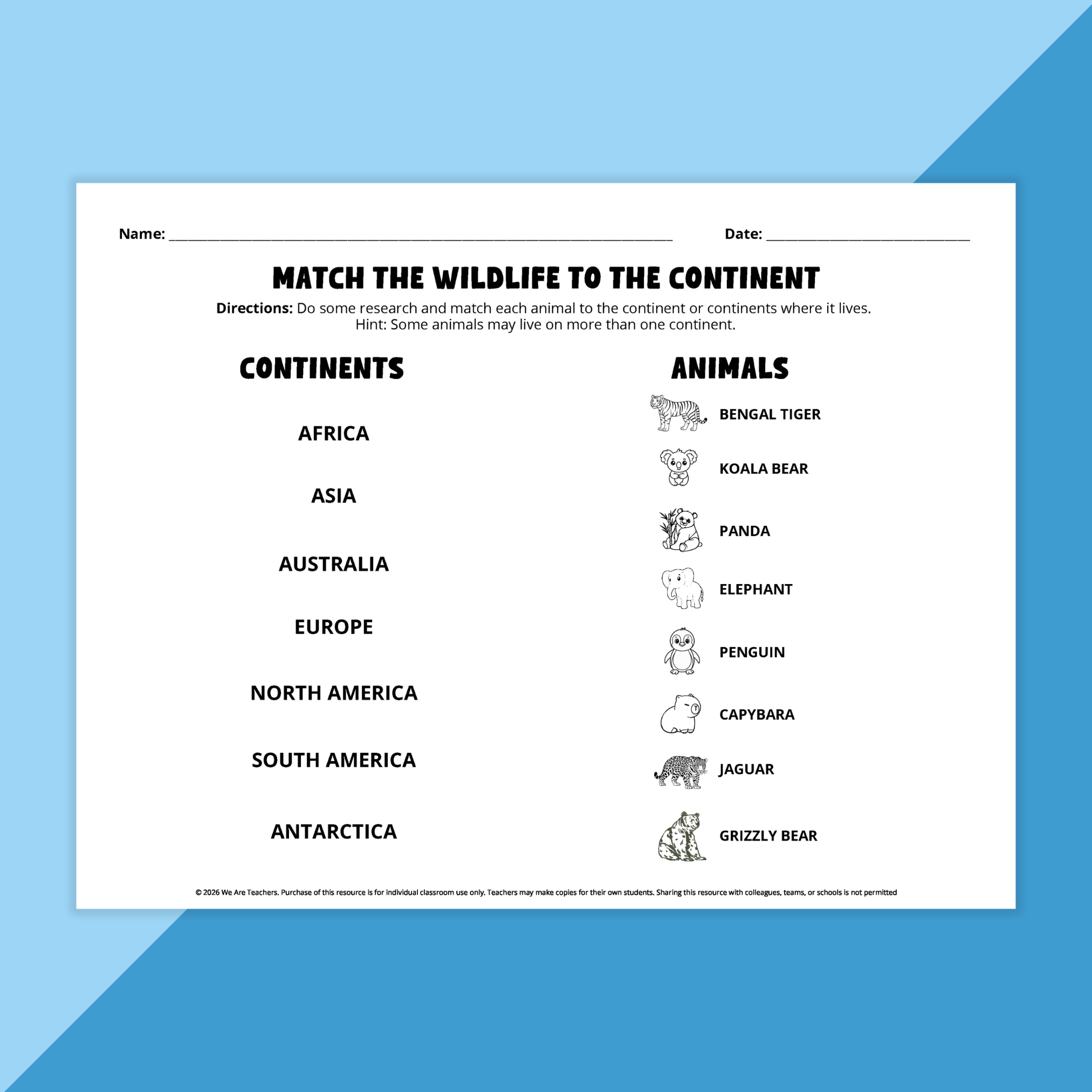
✔ Wildlife-to-continent matching activity
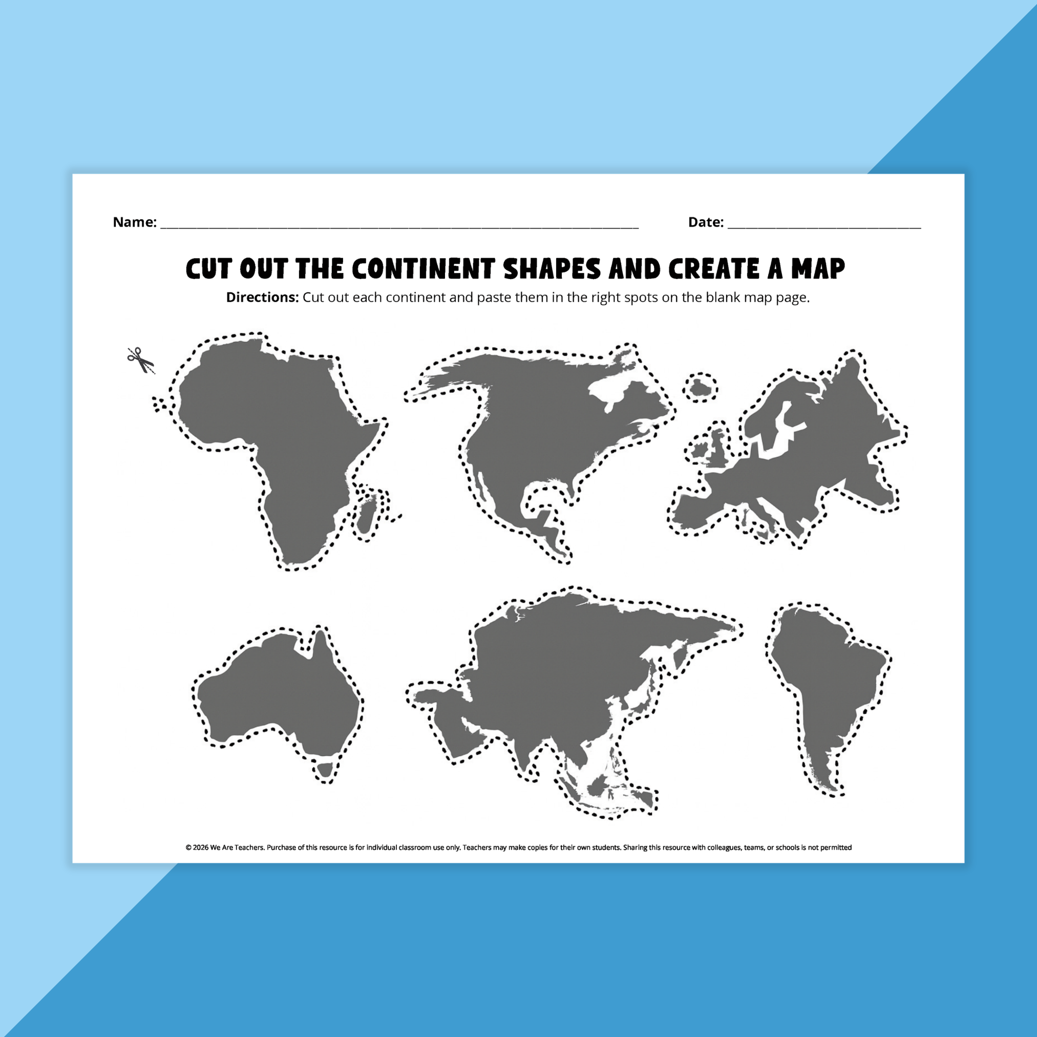
✔ Cut-and-paste continent map-building activity
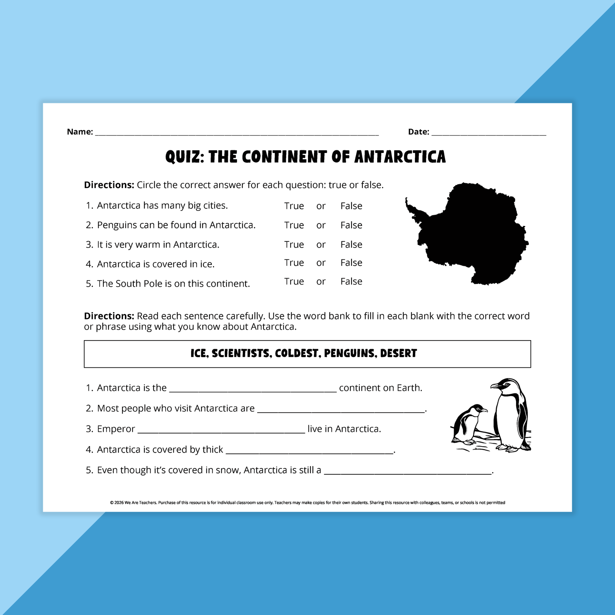
✔ Antarctica comprehension quiz and review activity
✔ Geography-themed writing and drawing prompts
✔ Continent and ocean classroom posters
Classroom Ideas
Build foundational geography knowledge
Introduce students to the seven continents and five oceans through labeling, vocabulary, and map activities that develop a strong understanding of world geography.
Strengthen map-reading skills
Use world maps, relative-location exercises, and map projection comparisons to help students understand how maps represent Earth’s surface.
Explore global connections
Encourage students to investigate continents, climates, wildlife, populations, and landforms through research and guided note-taking activities.
Develop literacy skills through geography
Use the differentiated reading passages, writing prompts, and comprehension activities to integrate reading and writing into social studies instruction.
Practice spatial reasoning
Have students identify locations using terms such as north, south, east, west, bordering, and across from while analyzing maps and geographic relationships.
Create hands-on learning experiences
Allow students to cut out continent shapes and build their own world maps to reinforce spatial awareness and continent recognition.
Encourage inquiry and discussion
Use the research organizers and continent exploration activities to spark curiosity about different regions of the world.
Extend learning through projects
Pair the continent posters, wildlife matching activities, and continent deep dives with presentations, reports, or classroom displays.
✨ The result?
Students gain a deeper understanding of world geography, improve map-reading and spatial-reasoning skills, build background knowledge about continents and oceans, and strengthen literacy skills through meaningful social studies learning.